
Y8-Naval.ONNX
A straightforward naval vessel recognition/tracking model for remote sensing feeds (ie sat imagery, drone footage) trained primarily on the dataset provided by 0.1109/JSTARS.2021.3104230.
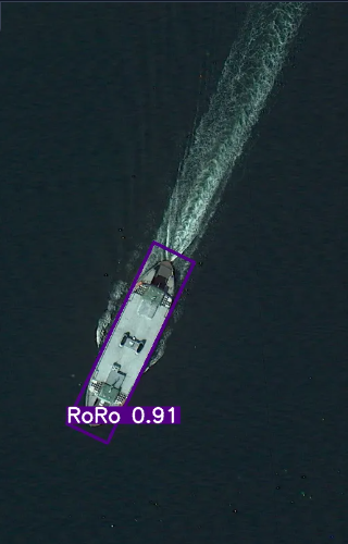
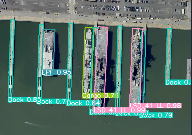
Examples
Extra
For a different kind of example, here's how the model performs in simulated environments:

Training Data
The xView dataset images are collected from WorldView-3 satellites, which offer a ground resolution of 0.3 meters. These images are sourced from diverse geographic locations, with a focus on those containing ship targets. Given the large size of the xView images, they are sliced into 930×930 pixel segments with a 150-pixel overlap, resulting in 532 images. Each image is relabeled with both horizontal and oriented bounding boxes.
Additionally, 1,057 images from the HRSC2016 dataset and 1,846 images from the FGSD dataset are included, with corrections made to mislabeled data and annotations added for previously missed small ship targets.
21 images from the Airbus Ship Detection Challenge are included, and 17 images from Chinese satellites such as GaoFen-2 and JiLin-1.
The use of Google Earth images must adhere to Google's terms of use. All images and their associated annotations are intended solely for academic purposes and are prohibited from commercial use.
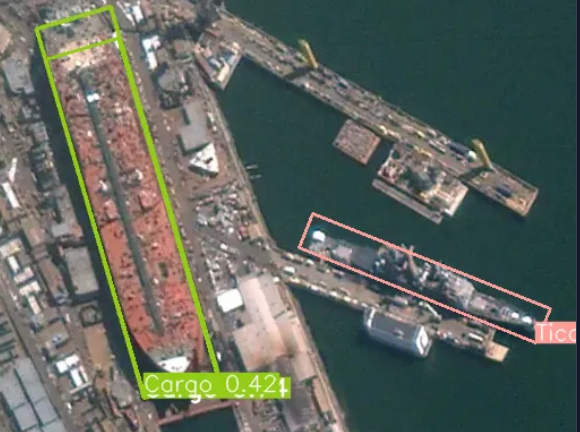
Considerations
Make sure to have the appropriate settings in order to reliably capture every ship in the given input:
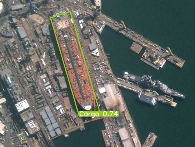
Adjusted conf. to capture the CG-47/Tico
Compatible with transformers.js
- Downloads last month
- 0